
OAN’s Elizabeth Volberding
11:05 AM – Monday, April 15, 2024
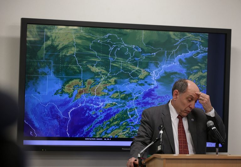
Some 50 million United States citizens are in danger of severe weather conditions in Nebraska through a large portion of the Midwest and Southern Plains from Monday through Wednesday.
On Monday, the National Weather Service’s (NWS) Storm Prediction Center (SPC) issued an elevated risk (level 3/5) of harsh thunderstorms for a large portion of Kansas and Nebraska, along with a chance of severe weather in coastal Virginia.
A string of powerful thunderstorms caused damage to Pennsylvania on Sunday night. This was early for such a catastrophic line of storms so far north and east, even though April usually signals the beginning of the severe weather season in much of the United States.
During a Monday morning forecast discussion, the NWS issued a warning that thunderstorms could deliver “very large hail, damaging winds, and a few tornadoes” to the Plains and certain areas of the Mid-Atlantic coast.
Large hail can result in significant financial losses due to damage to homes, cars, and crops, even though it does not receive the same attention as tornadoes. These losses were exceptionally high in the United States last year.
Monday afternoon, the SPC predicted that showers and thunderstorms will spread throughout the Great Plains, and that on Monday night, “when scattered to severe thunderstorms are likely to initiate across the Southern to Central Great Plains,” would be a continuation of the harsh weather threat
As a result, western Oklahoma and certain areas of northwest Texas have an increased chance of severe storms, according to the NWS, “due in part to the threat of large to very large hail, damaging wind gusts, and a few tornadoes.”
“Scattered severe thunderstorms are likely across parts of the Great Plains, beginning mainly this evening and continuing overnight,” the NWS concluded. “Several tornadoes, large to very large hail, and damaging wind gusts all appear possible. Strong tornadoes may occur this evening across parts of Kansas and Nebraska. Scattered severe gusts are probable this afternoon into the evening across portions of Virginia.”
In addition, over the Great Plains, there was a slight risk (level 2/5).
Tuesday is expected to bring with it a shift in the direction of severe weather risks, with showers and thunderstorms are anticipated to move into the Mississippi Valley as part of the warm sector of a deep Great Plains storm.
Monday and Tuesday are expected to see unusually high air temperatures over the Plains and the Midwest “due to a warm and humid surge moving north before an area of low pressure.”
According to the NWS, there will be widespread temperature highs in the 80s and even 90s throughout the severe weather region.
During its deliberations, the SPC stated that while some, but not all, of the components for a broad severe weather outbreak appeared to be present on Monday and Tuesday from Nebraska into Texas moving eastward with time, the exact length and intensity of the tornado danger in particular was questionable.
Stay informed! Receive breaking news blasts directly to your inbox for free. Subscribe here. https://www.oann.com/alerts